News
TxDOT Launches New Map App
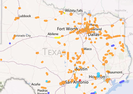
The Texas Department of Transportation (TxDOT) has released a new online application called “Drive Texas.” Using the application, drivers can plan their travel based on real-time updates on traffic, road conditions and weather feeds.
Travelers can map their routes and plan accordingly by plotting their beginning and ending locations and viewing the conditions along their course. Drivers can view information on construction, closures and accidents, which allows them to avoid these areas and safely make it to their destination.
If a motorist should need to pull off of the highway, the applications also features the ability for motorists to view TxDOT Safety Rest Areas and Texas Travel Information Centers.
In select cities, users can view images from traffic cameras, as well as information posted on dynamic message signs.
“People are mobile and want traffic and road conditions before and during their trip,” Margot Richards, TxDOT’s Travel Information Division Director said in a news release. “Drive Texas will make it easier to plan trips, avoid problem areas, and reach destinations quickly and safely. The goal is to make travel as safe as possible.”
Drive Texas can be found at DriveTexas.org or by simply clicking the “Highway Conditions” link on the TxDOT homepage. For more tech-savvy travelers, there is a mobile version of the application. TxDOT asks that “Drive Texas” users pull of the highway before using the app, or designate a navigator.
[source: nbcdfw]


